
The role of drone imaging in commercial production has changed dramatically. What was once seen primarily as a way to capture impressive aerial footage is now a far more practical business tool. Companies today often need more than attractive overhead photography. They need visuals that can support planning, inspections, documentation, facility oversight, and strategic communication.
That shift is one reason LiDAR and thermal infrared drone services are becoming more relevant across the St. Louis business community. These technologies provide a different level of insight than conventional aerial photography alone. For organizations responsible for buildings, land, equipment, infrastructure, or large properties, they can help reveal patterns, conditions, and details that would otherwise be difficult to identify efficiently.
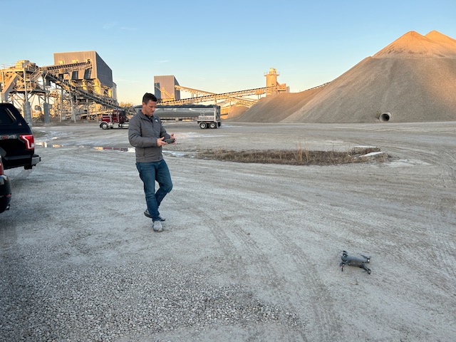
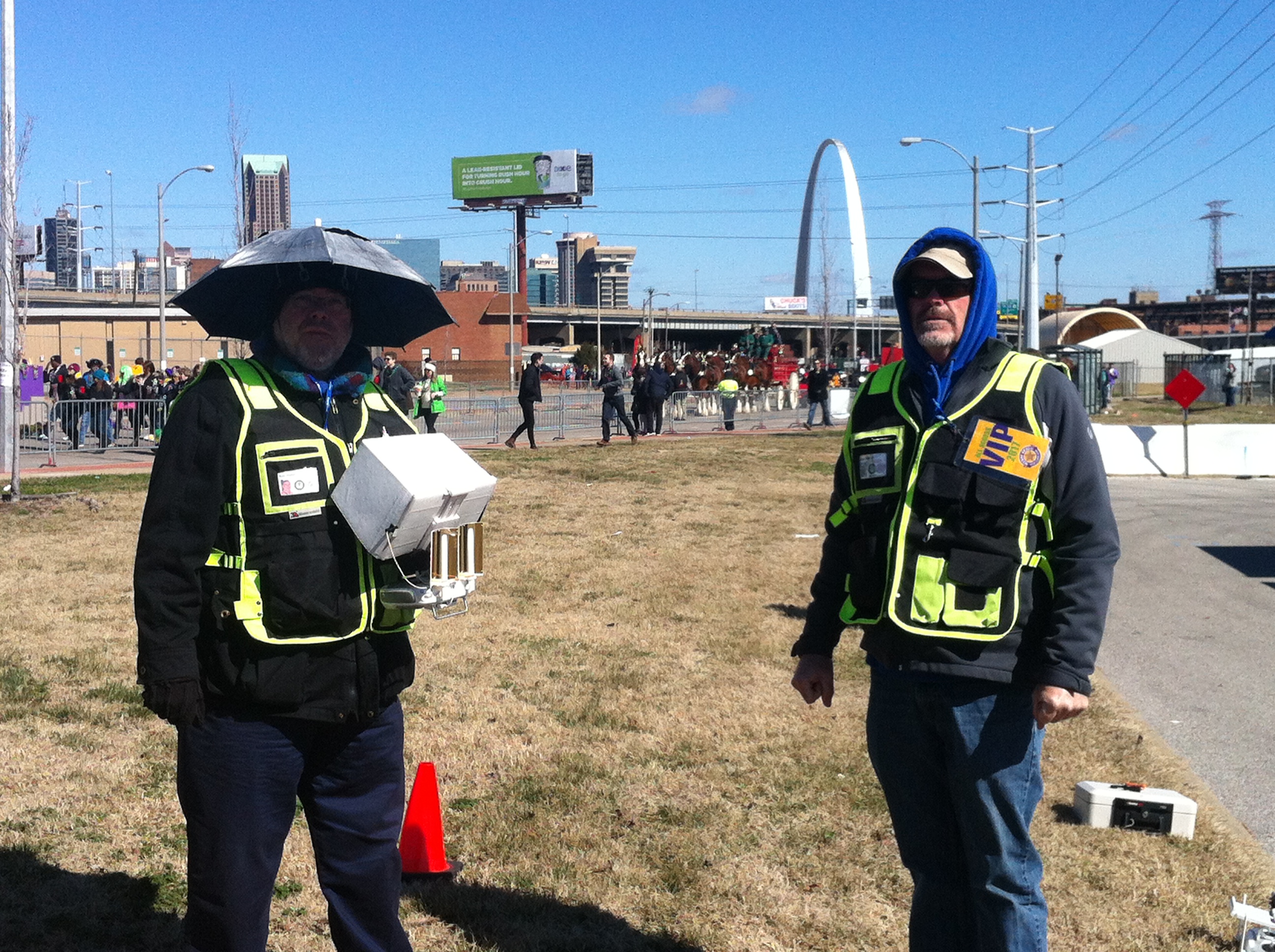
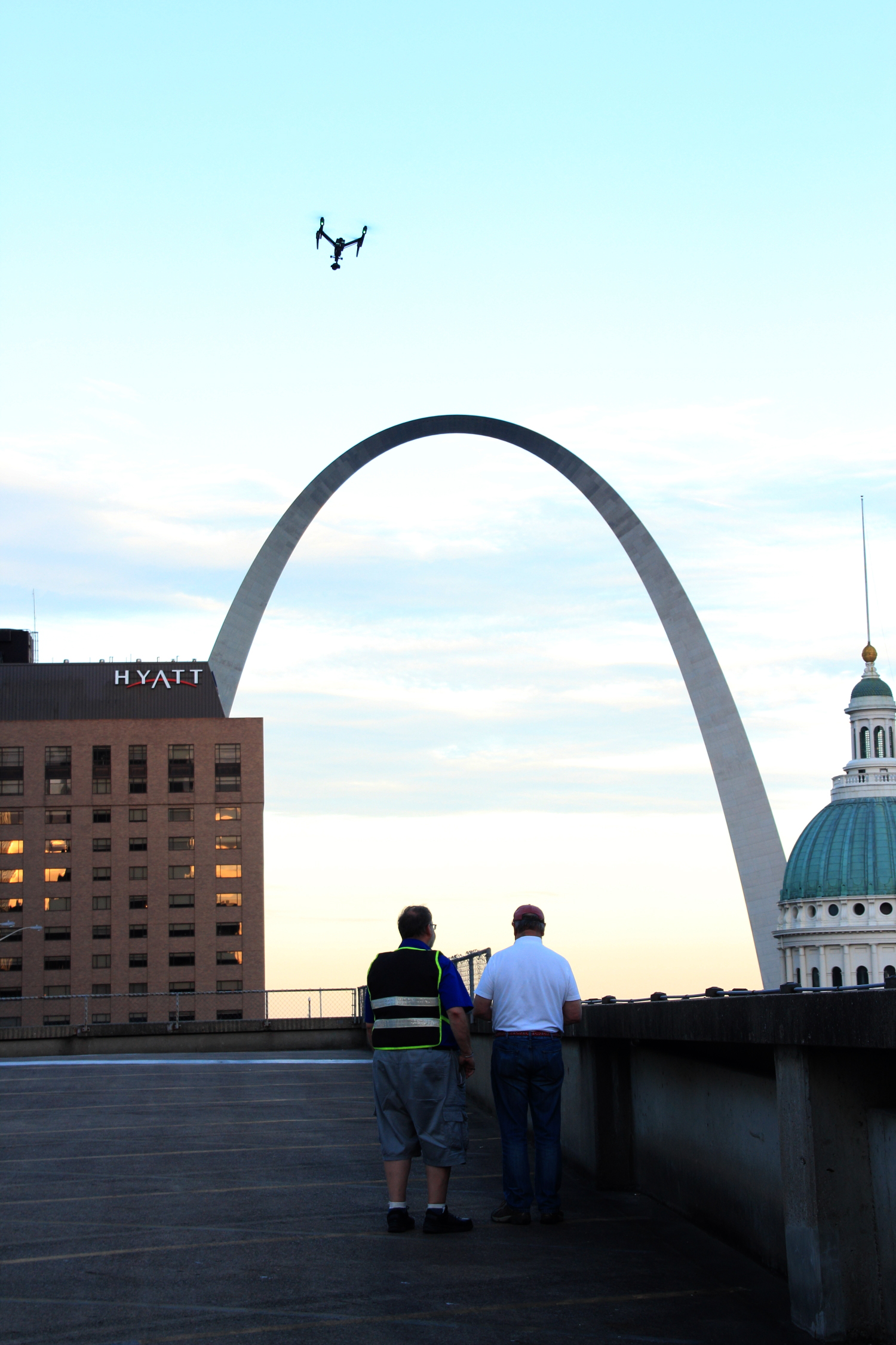
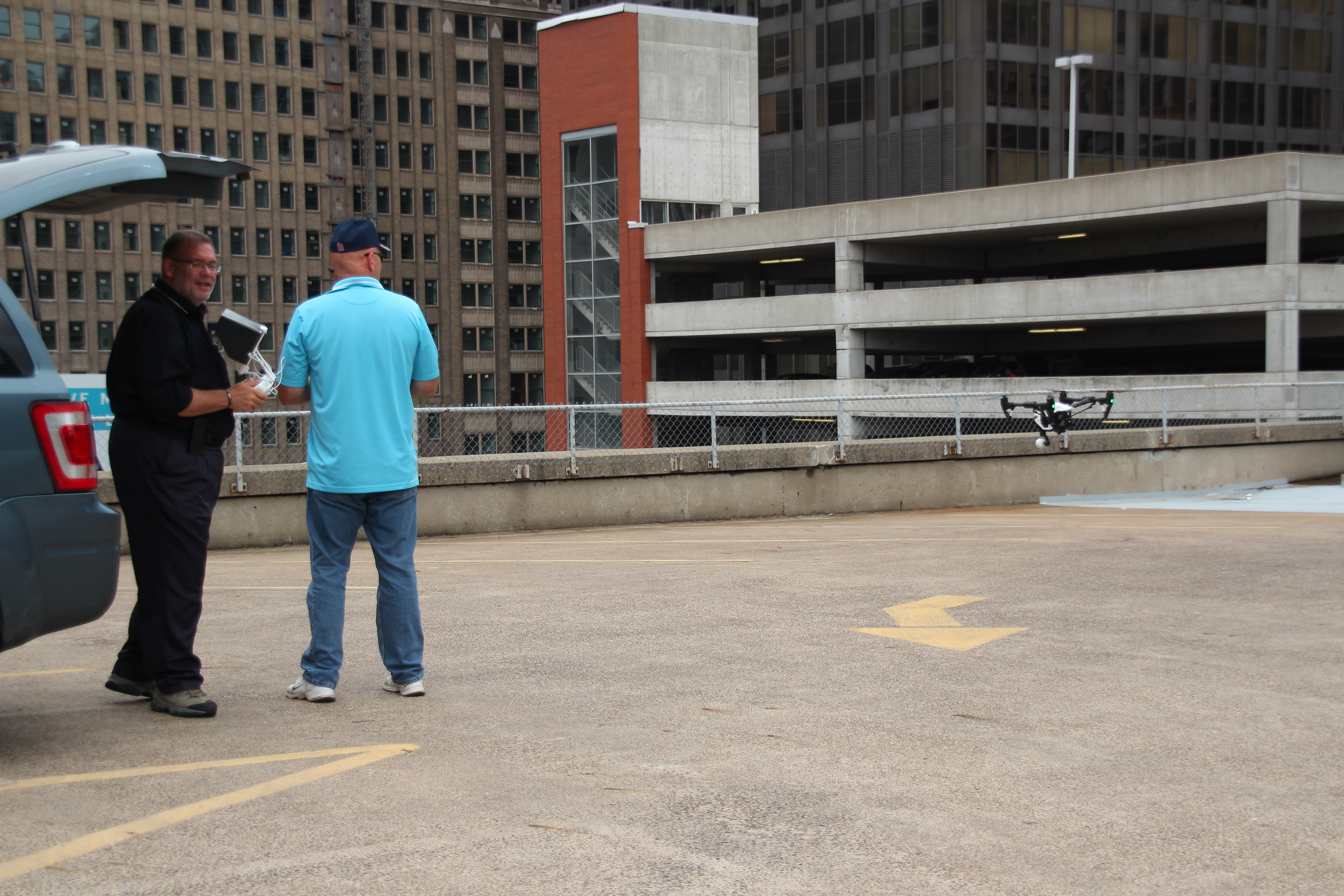
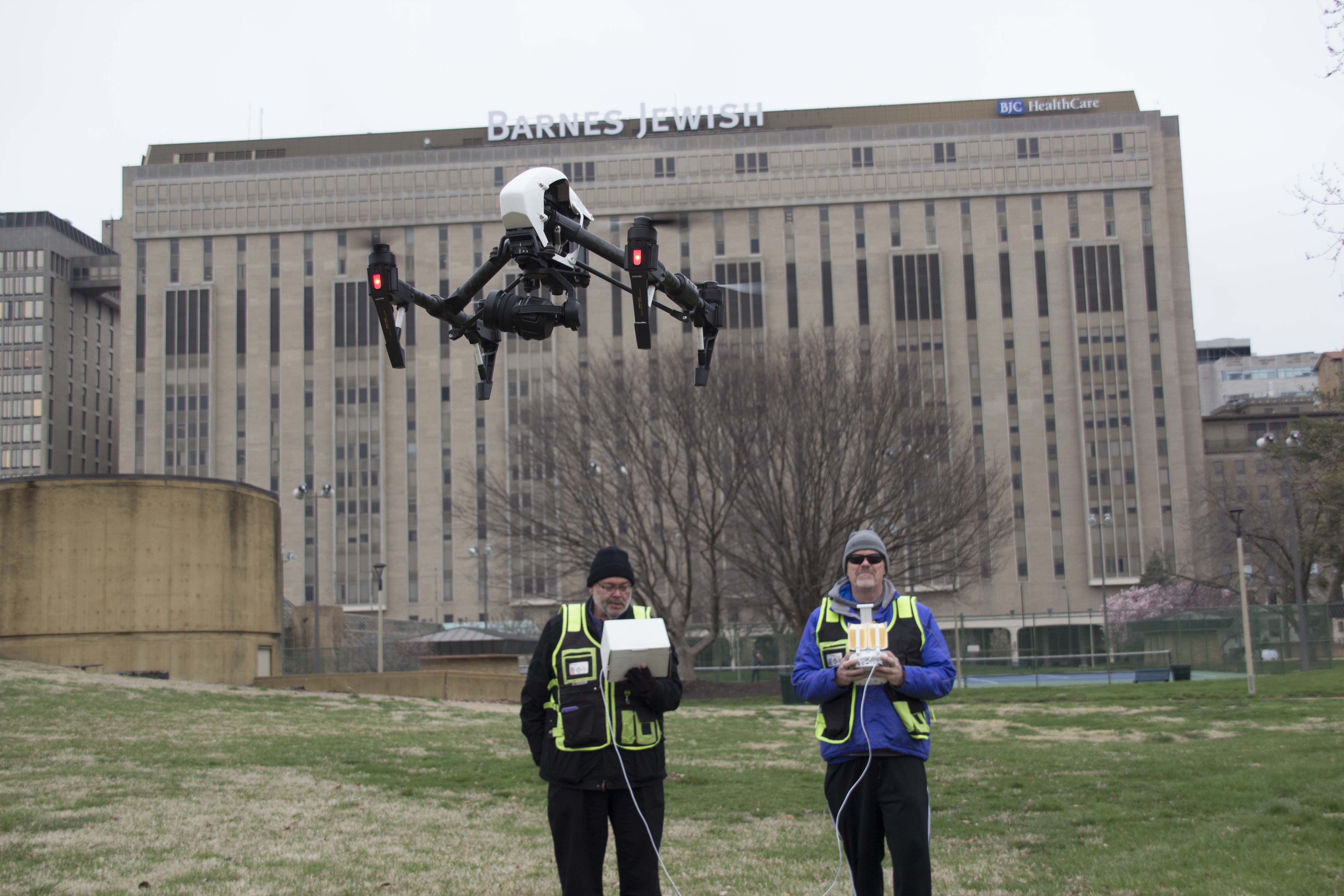
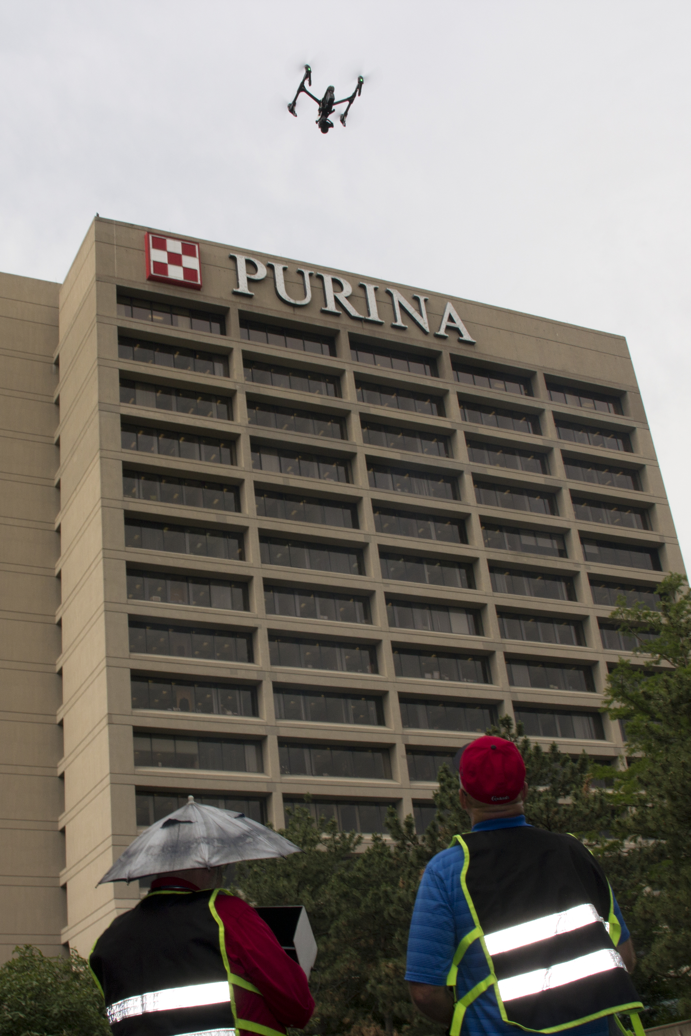
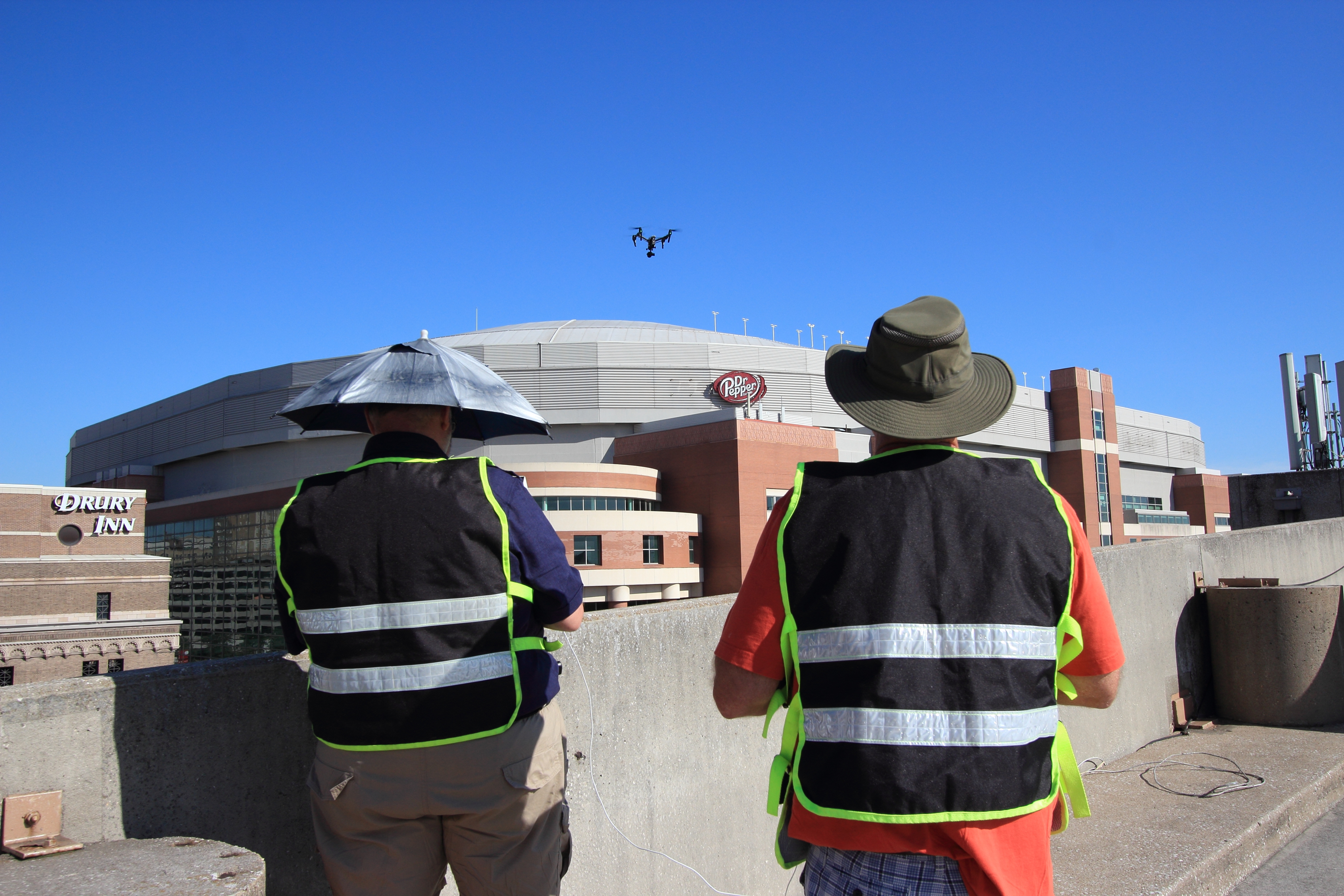
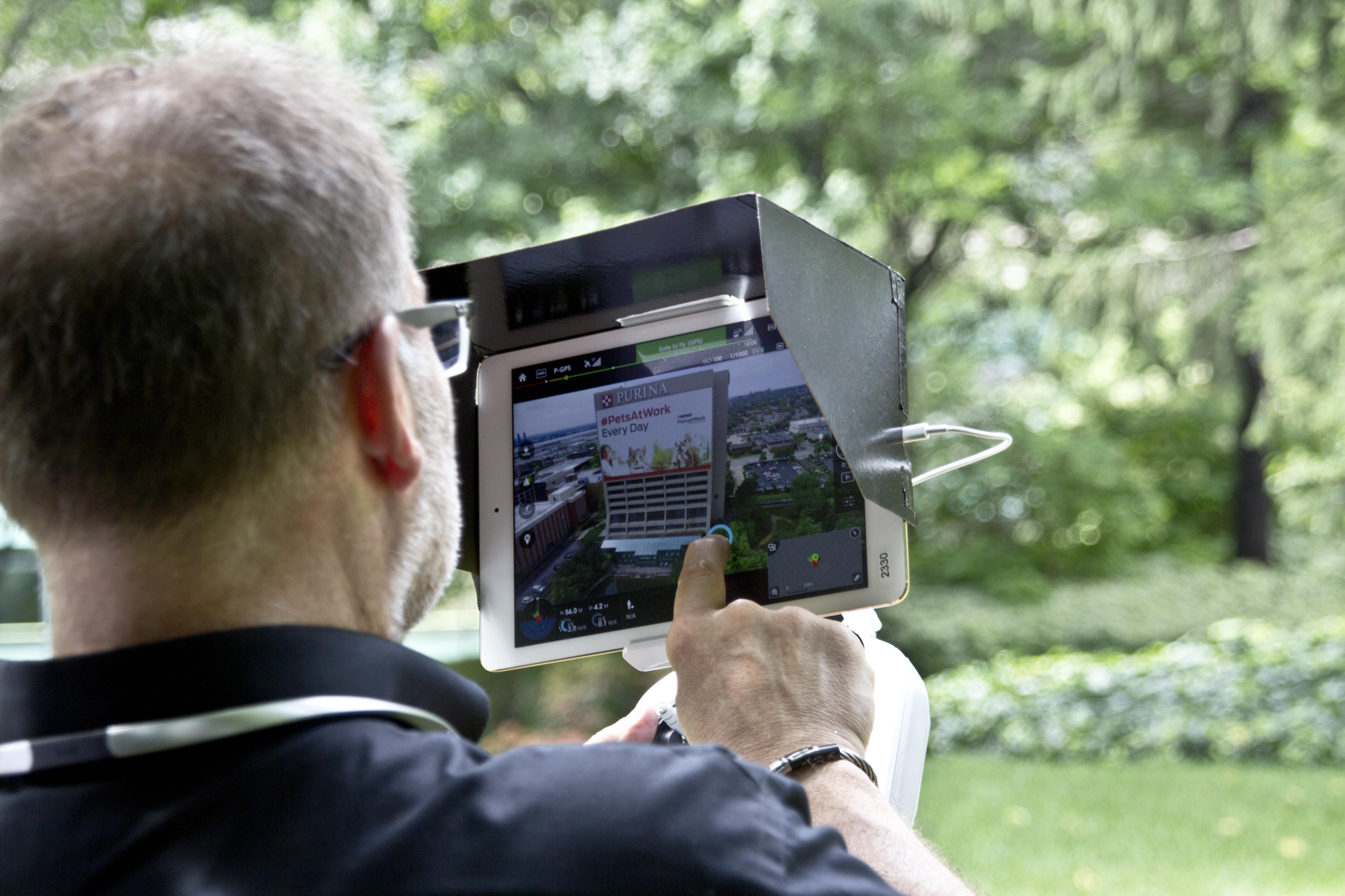
At St Louis Photographers, we approach these assignments from the perspective of experienced image-makers and production professionals. We understand that advanced drone work is not simply about launching equipment into the air. It is about understanding the objective, selecting the right capture method, managing the location professionally, and delivering visual assets that are genuinely useful.
A more specialized category of drone imaging
Standard drone photography is still valuable. It is excellent for marketing, site overviews, branding, progress imagery, and promotional video. But some assignments call for more than visual appeal. They require information-rich imagery that can serve operational and analytical goals.
That is where LiDAR and thermal imaging stand apart.
LiDAR is designed to gather precise spatial information and create detailed three-dimensional data about surfaces, terrain, and structures.
Thermal infrared imaging is designed to detect temperature differences, helping to show heat patterns and anomalies that may not be visible through standard photography.
While these technologies are different, both offer organizations a more informed view of the environments they manage.
Understanding the value of LiDAR
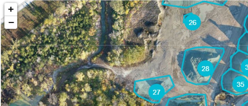
LiDAR, short for Light Detection and Ranging, works by emitting laser pulses and measuring the time it takes for those pulses to return. The result is highly detailed spatial information that can be used to build a much clearer understanding of land, structures, and physical layouts.
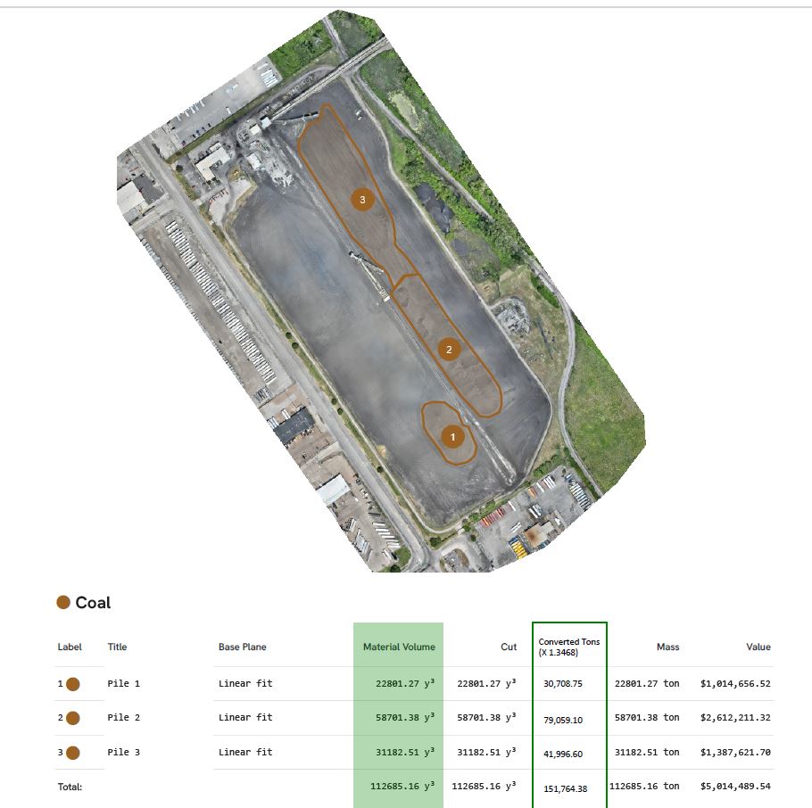
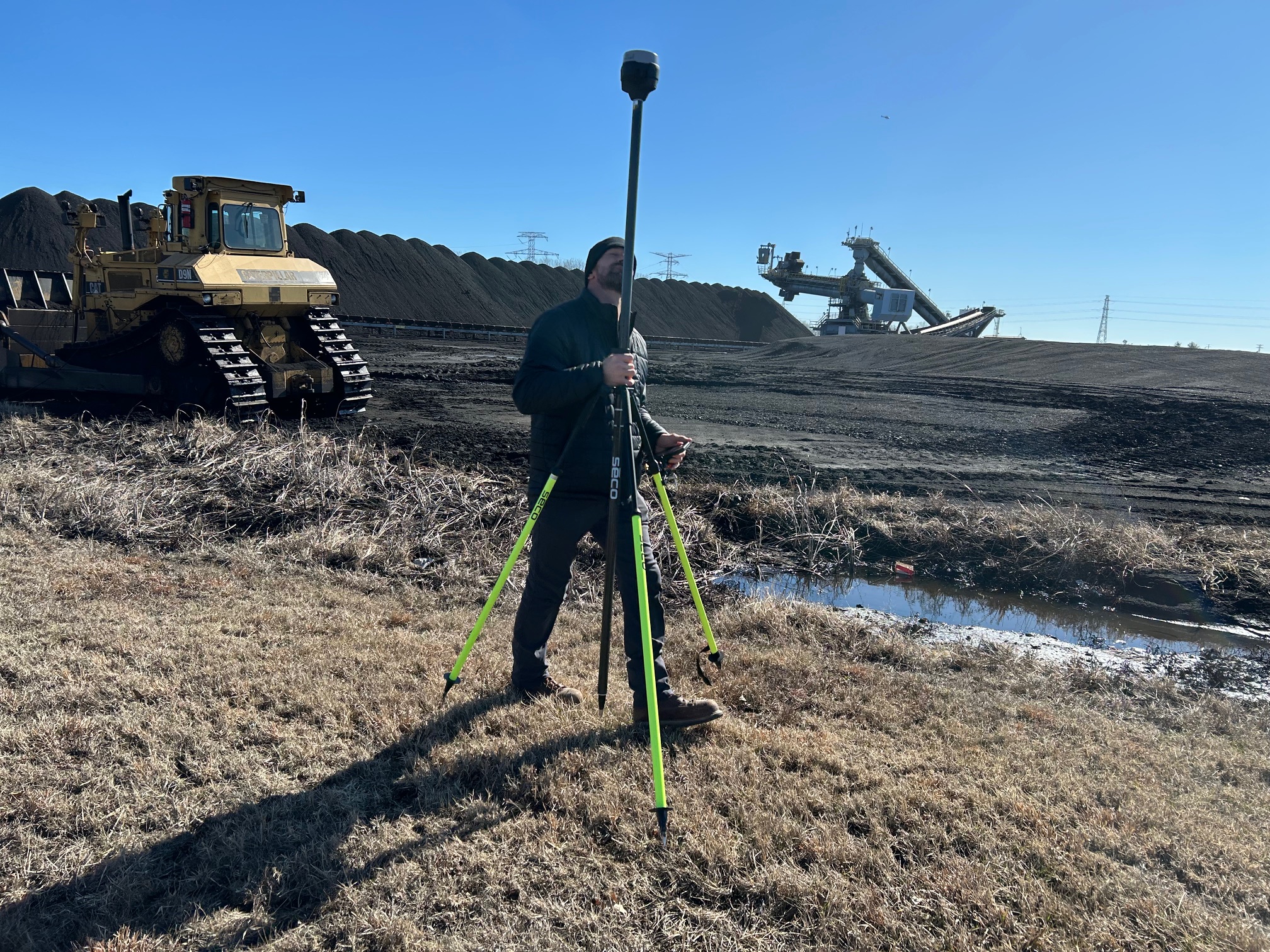
For commercial clients, LiDAR can be especially useful when the goal is to understand shape, contour, elevation, surface relationships, or large-scale spatial conditions. It is often a strong fit for projects involving development sites, industrial properties, stockpiles, campuses, corridors, or large outdoor environments where standard imagery alone may not provide enough depth.
A photograph can show a property. LiDAR can help define it in a more measurable way.
That distinction matters when businesses need strong documentation, better site understanding, or visual support for planning and presentations.
What thermal infrared imaging reveals
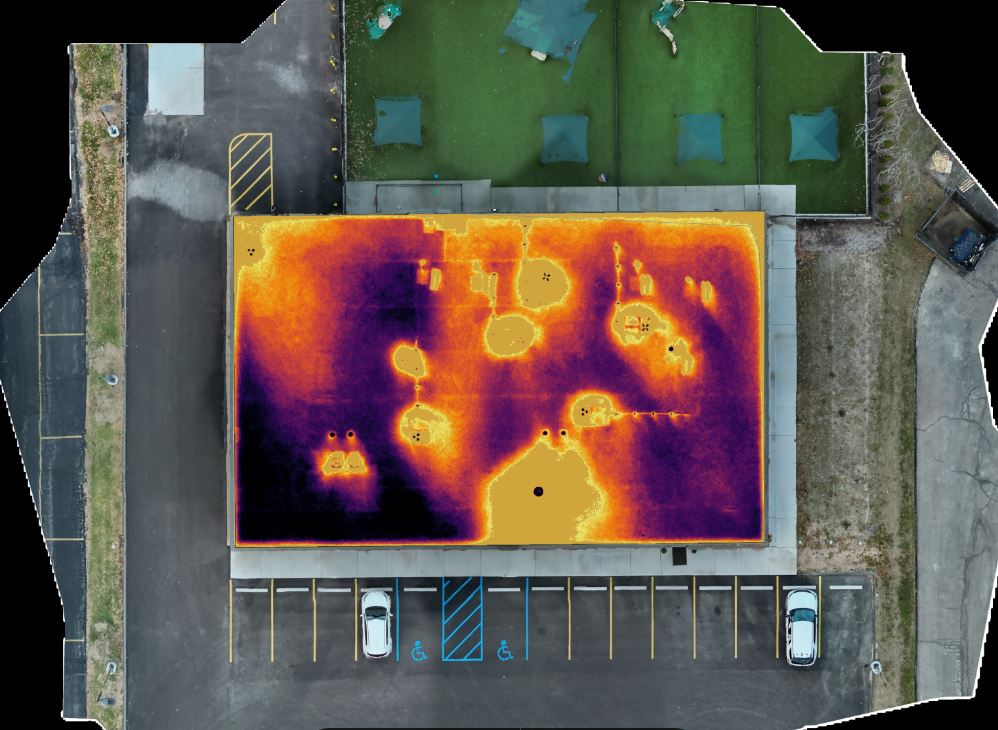
Thermal FLIR infrared drone imaging serves a very different purpose. Rather than focusing on visible appearance, it detects heat signatures and temperature variation across a surface or structure.
That capability can be extremely useful in commercial environments. A roof may look consistent in normal light but show noticeable temperature irregularities in thermal imagery. A building exterior may appear sound visually while displaying heat loss patterns in infrared. A solar array, piece of equipment, or mechanical zone may reveal abnormal hot spots only when observed thermally.
This is why thermal imaging has become valuable for many organizations responsible for building maintenance, facility management, infrastructure, commercial roofs, and industrial systems. It gives teams a broader way to review large areas and identify zones that may require further professional evaluation.
Why these services matter for St. Louis businesses
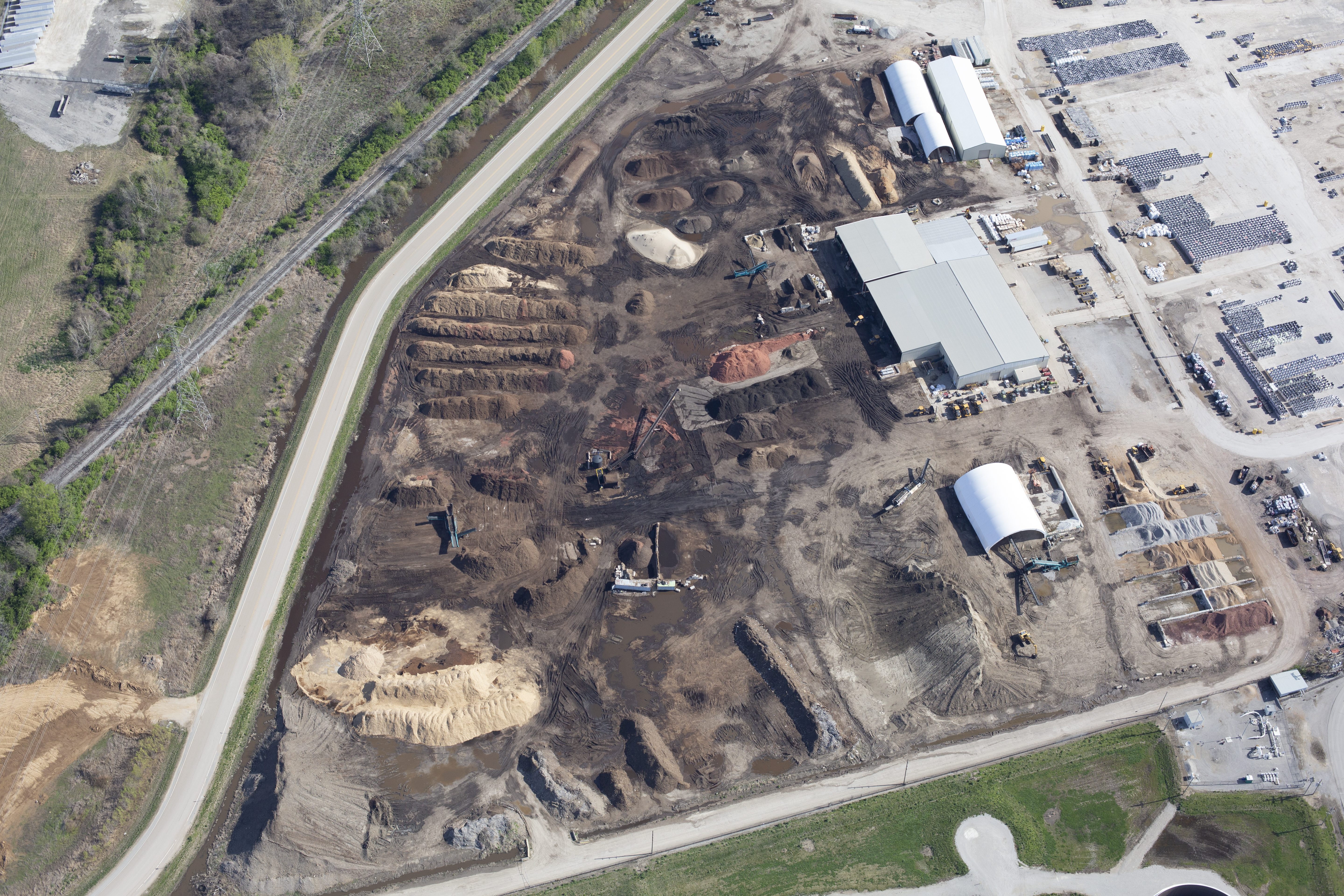
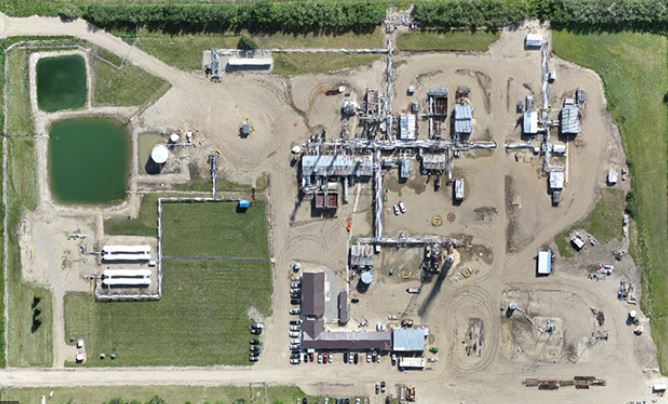
The St. Louis area includes a wide mix of commercial and industrial environments. Distribution facilities, corporate campuses, schools, hospitals, retail centers, manufacturing sites, construction projects, municipal properties, and development tracts all present visual challenges that are difficult to solve from the ground.
In many of these cases, advanced drone imaging can improve efficiency and perspective.
A facility team may need a clearer understanding of a large roof system.
A contractor may need site documentation that is more informative than ordinary progress photos.
A property manager may need visual records that help communicate conditions to ownership or service partners.
A business may want to show clients or stakeholders that it operates with advanced tools and a high level of professionalism.
LiDAR and thermal imaging can support all of those needs, but only when used thoughtfully and with the right production process behind them.
LiDAR and thermal imaging are not interchangeable
One of the biggest misconceptions about advanced drone services is that they all accomplish the same thing. They do not.
LiDAR is centered on physical geometry, terrain, and measurable spatial structure.
Thermal imaging is centered on temperature behavior and heat-related patterns.
The right choice depends entirely on the objective of the assignment. If the project requires a more detailed understanding of land, elevation, or spatial relationships, LiDAR may be the stronger solution. If the project involves identifying unusual heat signatures across a roof, system, or structure, thermal imaging is often the better fit.
In some cases, the two services may complement one another. In others, only one is necessary. That is why experienced planning matters before the flight ever begins.
Strong applications for LiDAR in commercial work
LiDAR is especially effective when a project requires more than surface-level visual documentation.
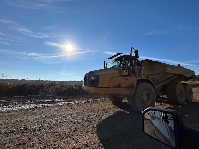
Construction and development sites often benefit from clearer spatial records, terrain understanding, and broader site visibility.
Industrial and logistics properties can use LiDAR to document large, active environments where layout and scale matter.
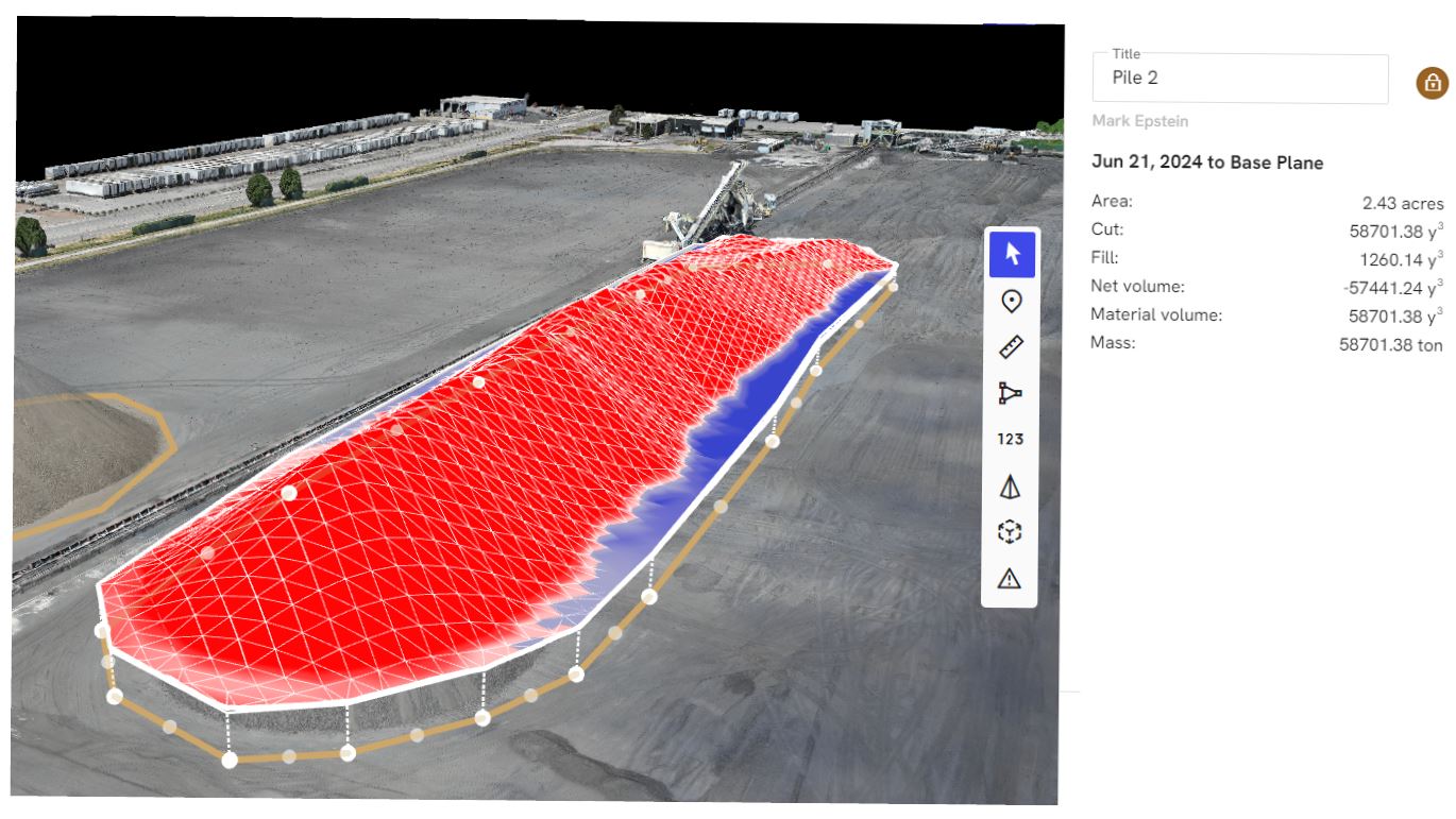
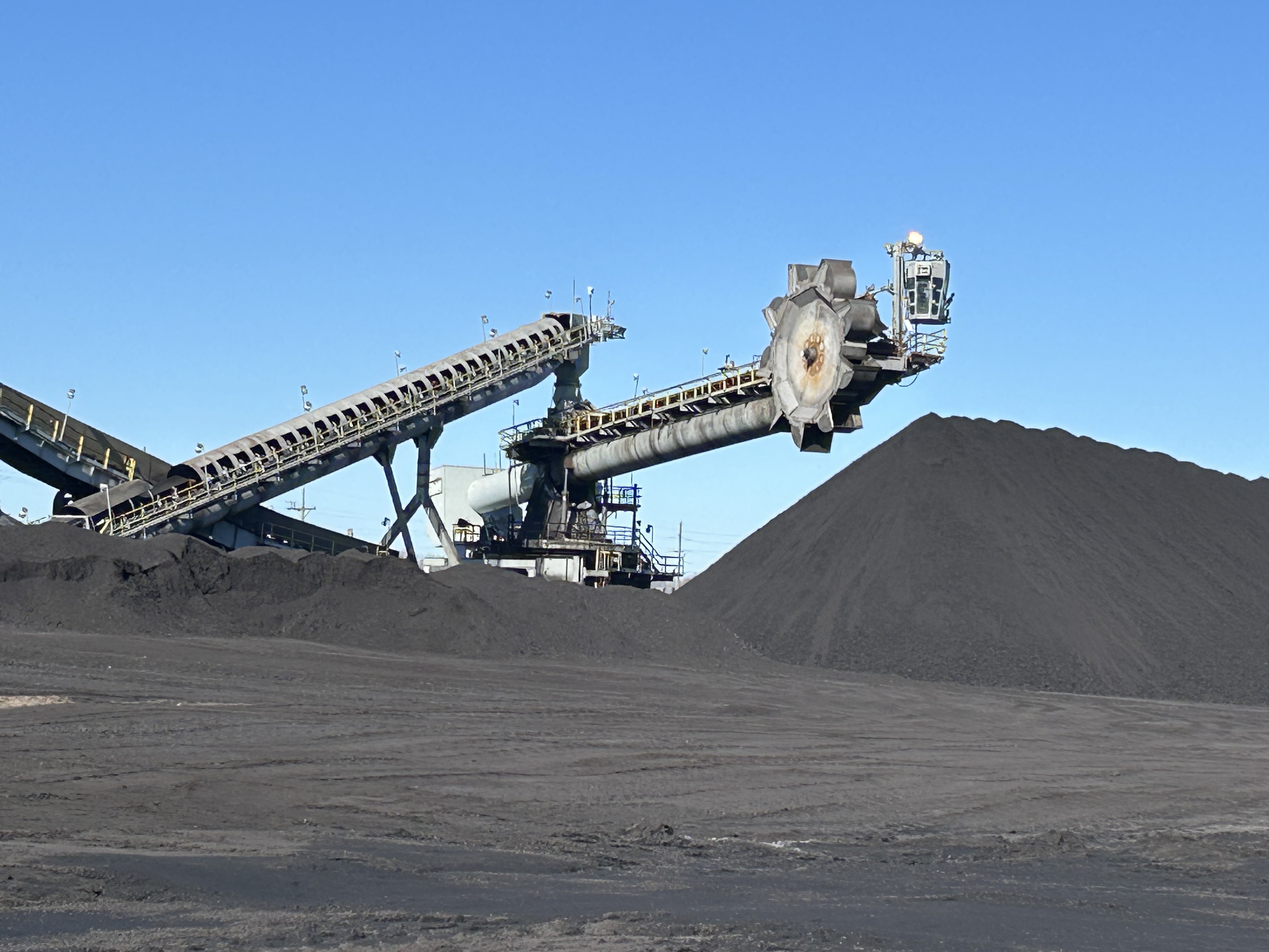
Stockpile and aggregate environments may benefit from workflows where volumetric interpretation or site geometry are important.
Institutional and corporate campuses may use LiDAR-informed visuals when planning renovation, expansion, access changes, or broader site documentation.
For these types of projects, LiDAR adds value by helping decision makers better understand the physical environment they are working with.
Strong applications for thermal drone services
Thermal infrared imaging is particularly useful when reviewing surfaces or systems where heat patterns matter.
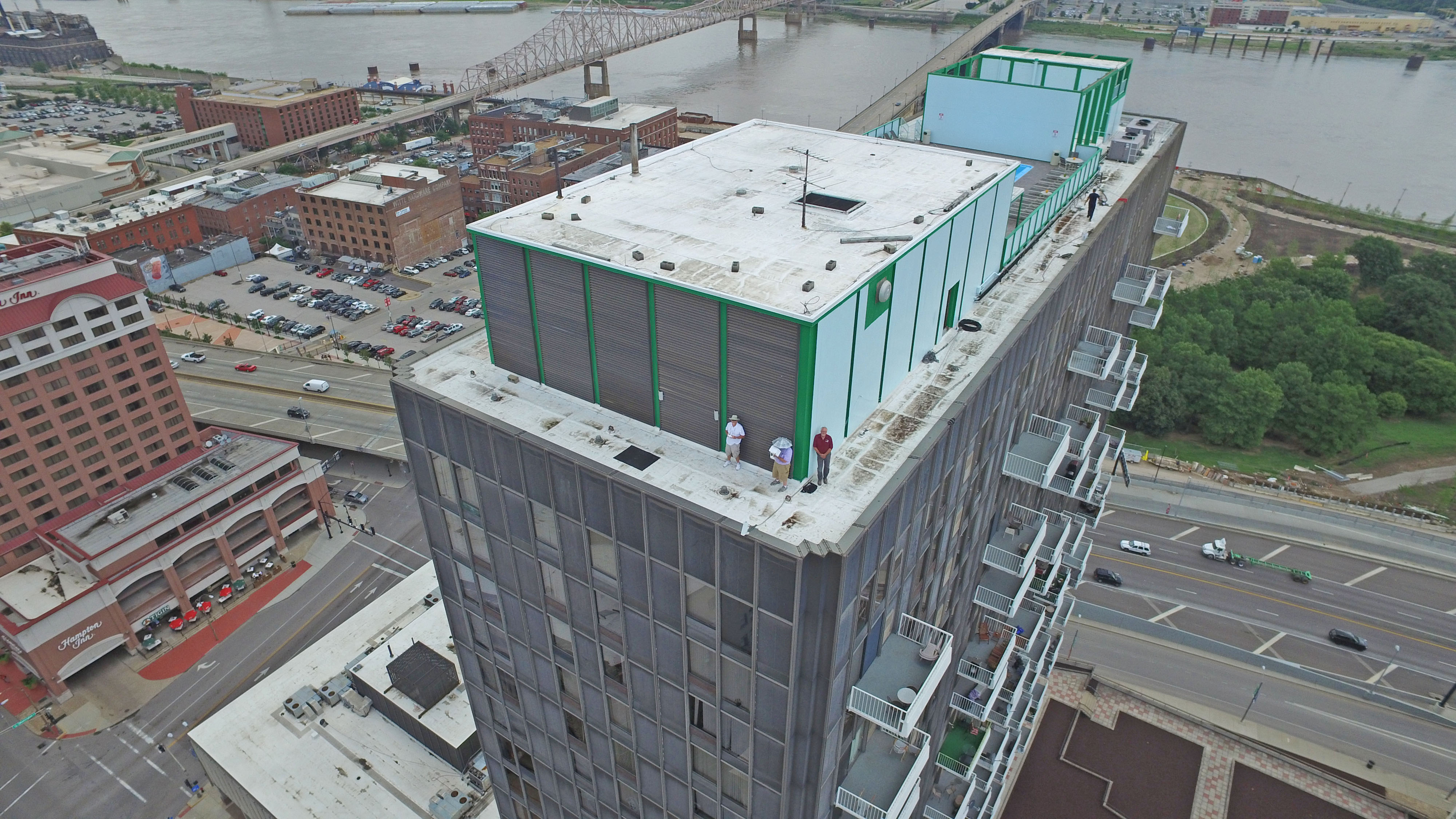
Commercial roofing is one of the most common examples. Large roof areas can be difficult to assess efficiently from the ground, while thermal imaging may help reveal patterns that support closer inspection.
Building exteriors and envelopes can also benefit from thermal review, especially when identifying potential inconsistencies related to energy loss or insulation performance.
Solar installations are another strong use case because temperature irregularities can help point to underperforming or suspect areas.
Industrial operations and facilities teams may also use thermal drone imaging to observe equipment zones, system behavior, or large structures where heat variation may indicate performance issues.
The value is not in replacing qualified specialists. The value is in giving those specialists and the organizations they serve better visual information to work from.
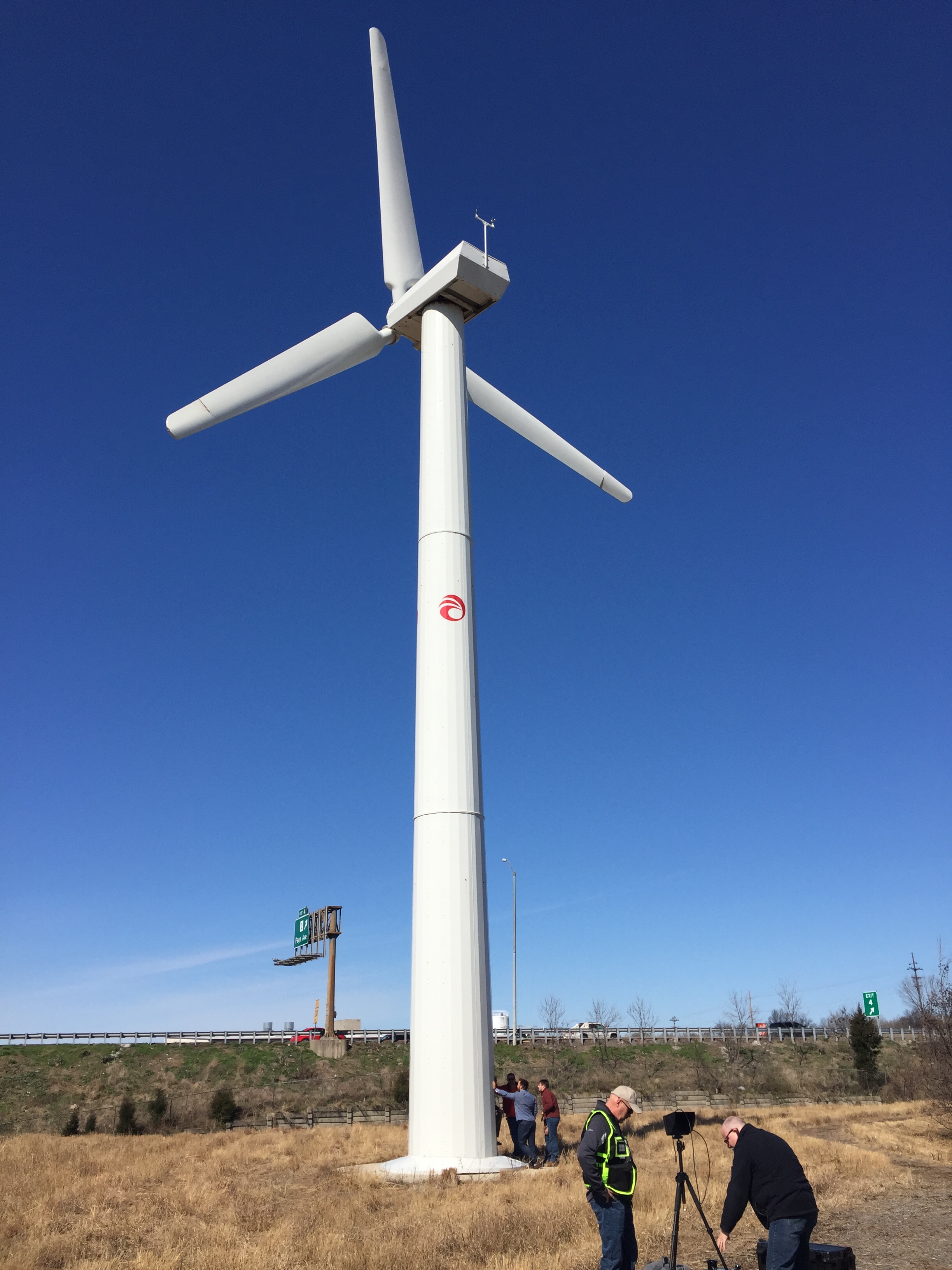
The production side of technical drone work
What makes advanced drone services successful is not just the sensor package. It is the entire workflow around it.
These assignments require careful planning, location awareness, safety consideration, timing, and post-production discipline. A thermal mission, for example, may be strongly influenced by weather, sun exposure, time of day, recent rainfall, building conditions, and material type. A LiDAR assignment may depend on flight design, site obstacles, vegetation, and the type of output the client ultimately needs.
That is why organizations should be cautious about treating advanced drone capture like a commodity service.
A provider should understand more than how to fly. They should understand the production environment, the intended deliverables, the logistics of working on active sites, and the difference between collecting images and delivering useful results.
Why visual communication still matters
Even when the assignment is technical, the finished imagery still plays a communication role.
LiDAR and thermal imagery can help explain conditions to stakeholders who may not be on site. They can strengthen internal reporting, support proposals, improve presentations, and give marketing teams more sophisticated visual material to work with. For engineering firms, contractors, developers, and service companies, this can become a major advantage.
Technical imagery often has value far beyond the original inspection or documentation purpose. With the right production team, it can be repurposed into content that supports branding, business development, client education, and credibility.
That broader perspective is one reason production experience matters so much in this space. A strong team understands both the technical function of the imagery and its communication value.
A smarter standard for modern image acquisition
As businesses become more data-driven and visually sophisticated, the expectations around drone services continue to rise. Clients increasingly want image acquisition that does more than look impressive. They want it to be informative. They want it to help solve problems. They want it to support decisions.
LiDAR and thermal infrared imaging meet that need when they are deployed strategically. They add depth, context, and insight that standard visual capture alone often cannot provide.
For organizations in St. Louis that need stronger aerial documentation, broader facility visibility, or more advanced production support, these services represent a smart evolution in commercial imaging.
St Louis Photographers for advanced drone imaging in St. Louis
At St Louis Photographers, we bring together commercial production experience, visual problem-solving, and advanced imaging capability to help clients capture more meaningful results. We understand how to manage location-based assignments professionally and how to shape drone imagery into assets that support practical needs as well as communication goals.
St Louis Photographers is a full-service professional commercial photography and video production company with the right equipment and creative crew service experience for successful image acquisition. We offer full-service studio and location video and photography, as well as editing, post-production and licensed drone services. St Louis Photographers can customize your productions for diverse types of media requirements. Repurposing your photography and video branding to gain more traction is another specialty.
We are well-versed in all file types and styles of media and accompanying software. We use the latest in Artificial Intelligence for all our media services. Our private studio lighting and visual setup is perfect for small productions and interview scenes. Our studio is large enough to incorporate props to round out your set. We support every aspect of your production, from setting up a private, custom interview studio to supplying professional sound and camera operators, as well as providing the right equipment, ensuring your next video production is seamless and successful. We can fly our specialized drones indoors.
